Where boards meet backstreets
A coastal settlement only becomes a true surf town when wave riding is absorbed into the everyday municipal fabric—when the ironmonger stocks stainless fin screws alongside lobster-pot twine, and the parish noticeboard lists winter reef-cleanup tides next to choir rehearsals.
1. Ericeira, Portugal: Sandstone cliffs and Jagoz civic memory
Forty kilometres northwest of Lisbon, Ericeira sits atop layered Jurassic limestone and basalt ledges that refract North Atlantic groundswells into seven distinct reef and point breaks across four kilometres of coastline. Yet what distinguishes the town from purpose-built resort strips is its compact 19th-century street grid. The Jagozes—the traditional coastal inhabitants of Ericeira—built narrow, wind-deflecting lanes oriented perpendicular to the dominant north-northwest nortada gale.
Between sessions at Coxos or Pedra Branca, life congregates around the Mercado Municipal da Ericeira. Opened early each morning except Mondays, its fish stalls display silver scabbardfish, percebes (gooseneck barnacles harvested from the exact low-tide shelves where waves break hours later), and bunches of wild sea fennel. Walk along Rua de Baixo at four in the afternoon and you will hear the low hum of sewing machines from wetsuit alteration tailors operating out of ground-floor workshops.
2. St Ives, Cornwall: Light, slate, and winter groundswells
St Ives occupies a narrow peninsula jutting into the Celtic Sea, giving the town three differently oriented beaches: Porthmeor facing north-northwest into the open Atlantic swell window, Porthgwidden tucked in the lee of the Island (St Nicholas Chapel), and the working Harbour beach facing east into St Ives Bay. Historically sustained by pilchard seining and tin-streaming in the hills of Penwith, the town’s architectural density in the Downalong quarter is a masterclass in maritime weatherproofing.
Directly behind Porthmeor Beach stand the Porthmeor Studios, where fishermen’s net lofts and kipper-curing cellars reside directly beneath painters’ studios occupied since the era of Ben Nicholson and Barbara Hepworth. During deep winter low-pressure systems, when Porthmeor’s sandbanks hold overhead wedging peaks below the Tate gallery wall, surfers change out of hooded 5/4mm wetsuits in the shelter of granite alleyways like Teetotal Street and the Digey, stepping over slate drainage channels cut two centuries ago.
3. Guéthary, Basque Country: The high-terrace lookout
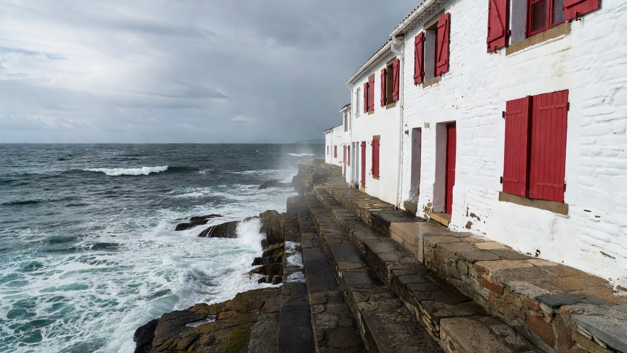
Wedged between the grand imperial avenues of Biarritz and the sheltered tuna port of Saint-Jean-de-Luz, Guéthary is the smallest commune on the Côte Basque. Its relationship with the ocean is vertical. From the Place du Fronton—where locals gather beneath plane trees around the 1906 mairie—the town drops down steep pedestrian zigzags across the railway line to a miniature slipway carved out of flysch rock strata.
When a long-period northwest swell arrives across the Bay of Biscay, the outer reef of Parlementia feathers half a nautical mile offshore. Because the wave requires a long paddle across deep water and big-wave gun boards between seven and nine feet long, the town naturally encourages contemplation. Watchers lean on the stone parapet of the Terrasse de Guéthary with binoculars, tracking four-wave sets while commuters board the regional train fifty metres below.
4. Raglan (Whaingaroa), New Zealand: Volcanic points and harbour guardianship
On the west coast of New Zealand’s North Island, ancient eruptions from Mount Karioi sent basalt lava flows into the Tasman Sea, creating a sequence of left-hand boulder points—Indicators, Whale Bay, and Manu Bay—that peel with metronomic regularity. Nine kilometres east of those rocky headlands lies the town of Raglan, wrapped around the tidal flats of the Whaingaroa Harbour.
Here, coastal life is shaped by two tides: the open-ocean swell wrapping around the headland and the quiet rush of estuarine water beneath the pedestrian footbridge to Kopua Domain. Local environmental groups, guided by Tainui hapū principles of kaitiakitanga (guardianship), spent decades fencing riparian margins along harbour tributaries to restore native kahikatea forest and mussel beds—proving that water quality at a world-famous surf point starts on pastoral hillsides miles inland.
Comparative Overview of Five Working Surf Towns
| Town & Region | Primary Swell Window | Water Temp Range | Civic Anchor Beyond the Beach | Rail / Low-Car Access |
|---|---|---|---|---|
| Ericeira, Estremadura, Portugal | NW–WNW (Sept–May) | 14°C – 18°C | Mercado Municipal & Santa Marta chapel point | Express coach from Campo Grande, Lisbon (45 min) |
| St Ives, Cornwall, UK | W–NW (Oct–Apr) | 9°C – 16°C | Porthmeor net lofts, Leach Pottery & Tate St Ives | St Ives Branch Line from St Erth mainline junction |
| Guéthary, Labourd, Basque Country | WNW–NW (Sept–Apr) | 12°C – 21°C | Place du Fronton pelote court & dry-dock port | SNCF Halte de Guéthary directly above the slipway |
| Raglan, Waikato, New Zealand | SW–WSW (Year-round) | 14°C – 20°C | Whaingaroa Harbour estuary & Old School Arts Centre | Waikato regional bus Route 23 from Hamilton |
| Encinitas, California, USA | WNW (Winter) / SSW (Summer) | 14°C – 21°C | La Paloma Theatre (1928) & San Diego Botanic Garden | NCTD Coaster commuter rail at Encinitas Station |
How to read a town before you paddle out
Before pulling a board from its bag, walk the length of the harbour wall or main street without surf gear. Notice where commercial fishing boats unload, which residential lanes have "Residents Only" turning bays, and where public freshwater showers drain. Entering the water after understanding how a town earns its living changes your posture in the lineup.
Continue to Café Stops